
MAPPED MY PHOTOS
Photos Anchored to Places
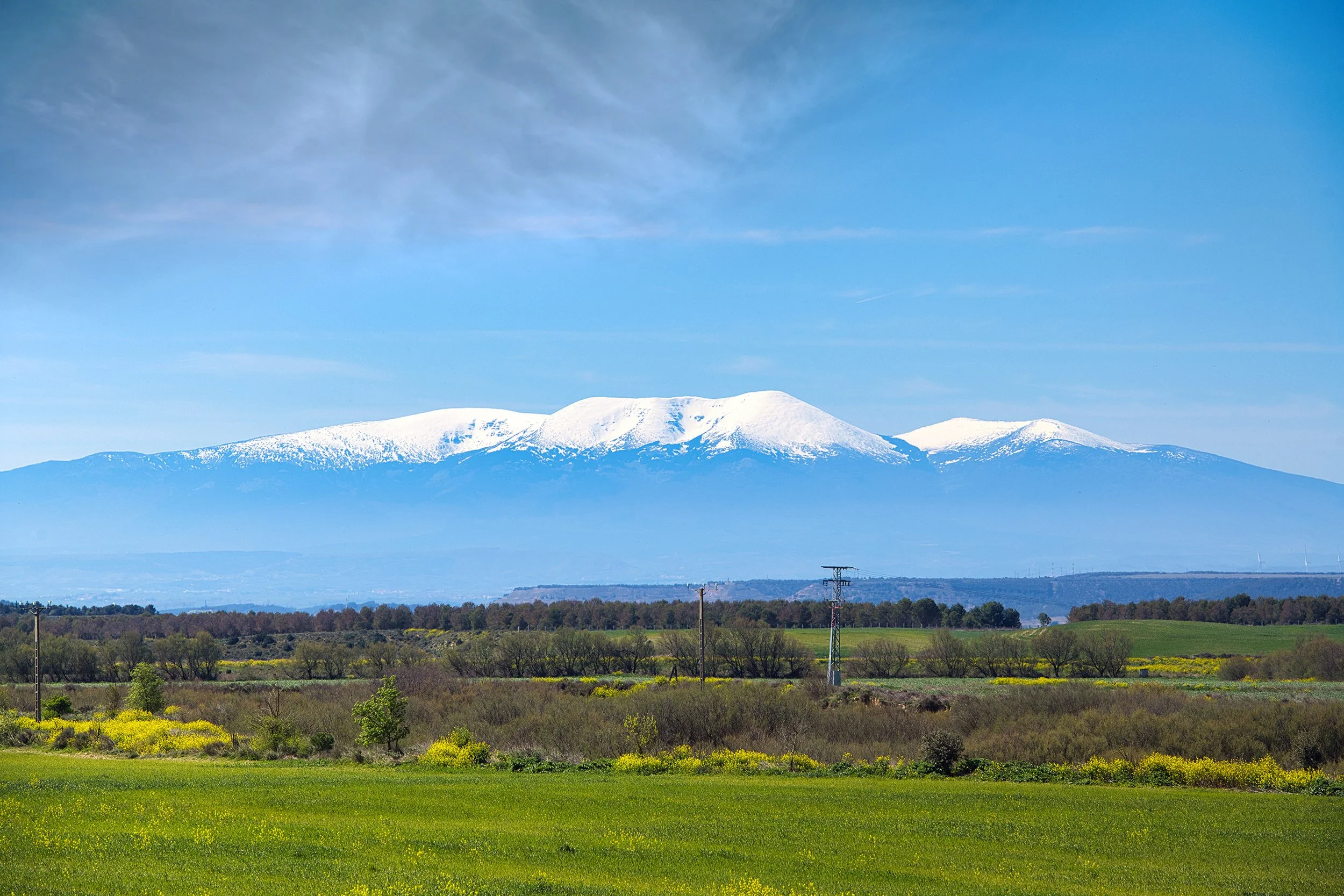
An evolving photographic atlas of landscapes, places and lived experiences. This interactive map connects photographs to the places where they were made, tracing relationships between landscape, memory, experience and location.
• Click the full-screen icon in the top-right corner to expand the map.
• Use the menu icon in the top-left corner of the map to toggle layers by country.
• Click on the map markers to view photos and direct links for each location:


Future Destinations
My Photographs

